
Flickr Geotags
Flickr is a website that offers free hosting of digital photos. There are some fairly important restrictions on the size of the files that one is allowed to post to flickr without a pro account; for example, nothing over 500 pixels in any direction. Still, Flickr is an amazing website and it offers an amazing amount of value, especially for bloggers (the fact is that, for blogs, there's very seldom any need for bigger photos).
One of my habits is to find photos of things my wife is interested in and email them to her. Today it was photos of Dakar, Senegal. But I noticed that Flickr was showing off a new feature, called "geotags." Basically, you search for a location and Geotag displays the map, with photos of the relevant geographical tag.
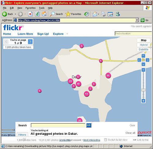
Incidentally, to get to the screen displayed, just click the image...
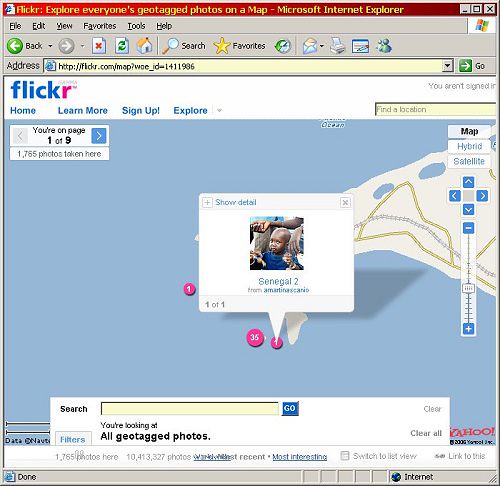
You can select one of the magenta dots to show the photo[s] with that location tag..
And you can view the area as a satellite photo.
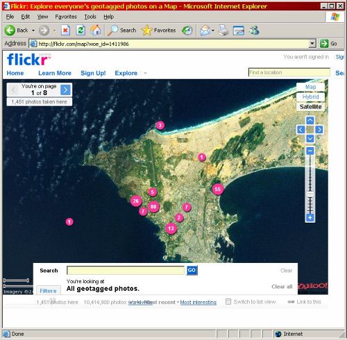
That's for those of you who perhaps have become blasé about Google Earth.
Labels: graphical user interface
posted by James R MacLean @ 3:52 PM
0 comments
![]()
![]()


0 Comments:
Post a Comment
<< Home